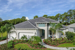
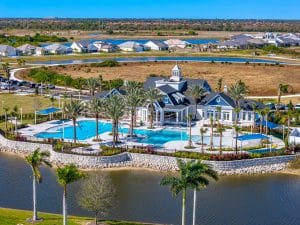
Grand Palm
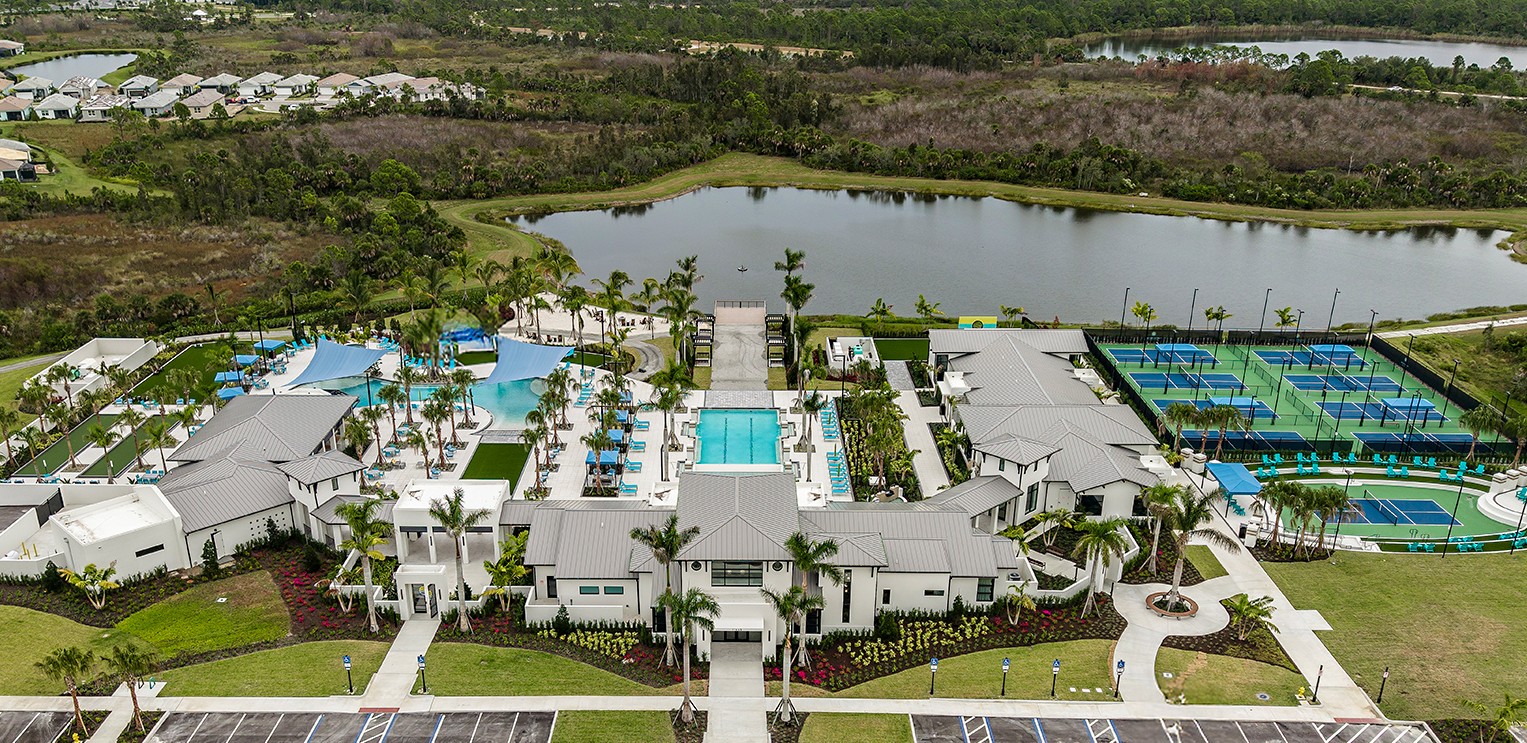
This beautiful, nature-focused community is exactly what resort living should be like, featuring a state-of-the-art fitness facility, resort-style pool with water slides, and so much more.
This beautiful, nature-focused community is exactly what resort living should be like, featuring a state-of-the-art fitness facility, resort-style pool with water slides, and so much more.
A gated 1,000-acre community with a full line-up of fun and fitness amenities, including an 18-hole par 72 golf course.

A golf and country club community offering a mix of condominiums, coach homes, and single-family residences, not to mention resort-style amenities and an 18-hole golf course and clubhouse, all right in your own backyard.

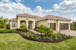
Last opportunities! This gated, maintenance-assisted neighborhood offers homeowners the very best of Florida living.

Sold out! Situated within walking distance of Downtown Wellen and CoolToday Park with variety of home designs and exciting onsite amenities.

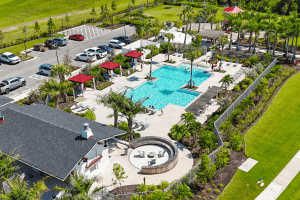
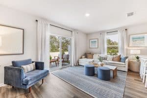
Enjoy thoughtfully designed, open floor plans and family-friendly amenities in this lively community!

Brightmore is Wellen Park’s first 55+ lifestyle community. Discover new possibilities andfun-filled, resort-style amenities that emphasize social connections, well-being, and fun experiences every day.
Live happily Everly after! Everly offers a mix of custom estate homes and semi-customizable luxury homes for distinctive homeowners.
A family-friendly neighborhood with a variety of home designs, as well as outdoor recreation, and the convenience of a future walkable school campus.
Sail into something better! Luxury single-family homes, townhomes, and condos now selling.

Find your slice of paradise at Oakbend in Wellen Park–an exclusive, gated community in Venice, FL with spacious one- and two-story home designs featuring luxurious personalization options.
Now open in the heart of Wellen Park, Florida, Ashcombe brings a fresh take on modern townhome living.
A gated enclave of spacious single-family homes thoughtfully arranged to offer a mix of lake, preserve, and charming internal neighborhood views, creating a connected and welcoming streetscape.

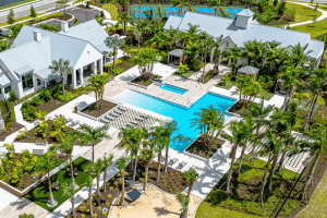
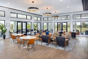
Elevated resort-style living with signature amenities, wellness programs, and concierge services to invigorate the mind, body, and spirit.

Custom and semi-custom luxury homes with resort-style amenities and walkable access to Downtown Wellen, delivering in early 2027.
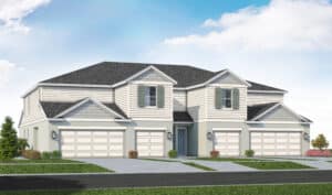
Low-maintenance townhomes surrounded by natural beauty, offering modern floorplans and convenient access to the Wellen Park lifestyle. Selling Summer 2026.
Herald-Tribune
By Earle Kimel
NORTH PORT — As the West Villages evolves into Wellen Park, the development should officially include a hotel adjacent to CoolToday Park and 130 acres reserved for the Sarasota County School Board to eventually build new campuses for a high school and possibly a K-8 facility.
Those are some of several features given tentative approval by the North Port City Commission in the first reading of ordinances amending the city’s unified land development code to provide for amendments to the Village Index Map and village pattern plans for Villages F and G.
Officially noting that the site beyond the left field wall at CoolToday will be developed as a hotel was a major change.
The two proposed school sites — located on the south side of a yet-to-be-built Manasota Beach Road, just west of an equally aspirational commercial development that would be located at the intersection of Manasota Beach Road with River Road — has not been finalized.
The developer hopes to swap that for an existing 60-acre school site, now located between State College of Florida-Venice and CoolToday Park.
John Luczynski, senior vice president of development for the West Villages, said that a school may no longer be the best use of that initial 60-acre site, while creating enough campus space for a high school in the development — which will be officially referred to as Wellen Park, starting June 8.
“We see it as a positive to put a quality school in the neighborhood,” Luczynski said. “Our demographics are a lot more mixed.”
Luczynski said the proposed land swap is expected to be presented to the Sarasota County School Board for approval as soon as its June meeting.
Land swaps are nothing new for Mattamy Homes and the master developer, since it acquired the former Thomas Ranch six years ago.
In 2017, it purchased 20 acres from the Diocese of Venice off of U.S. 41, between West Villages Parkway and River Road, in part of a transaction that gave the diocese 46 acres along River Road, just south of the intersection with U.S. 41.
The pattern book and map changes included modifications in the rights of way for roads inside the development. Most notably, that impacted Manasota Beach Road, which the developer plans to build from River Road west until the end of the property it owns, which is roughly 800-feet west of Preto Boulevard.
Luczynski stressed that there are no plans to connect Manasota Beach Road with State Road 776, since the right of way was owned by other entities.
As part of the approvals North Port Mayor Debbie McDowell asked that a stipulation be added that the city of North Port would not be responsible to extend the road either.
Theoretically, Manasota Beach Road would one day extend south of Island Walk and Sarasota National, and link up with State Road 776 south of Sarasota National and north of the planned DiVosta development, Beach Walk.
A spokeswoman for DiVosta said current plans for Manasota Beach Road to be improved east from State Road 776 only as far as a planned second entrance to the proposed 1,675-home gated community. That would have the road end west of Sarasota National and several hundred yards short of Preto Boulevard.
Read More

Read More
Read More
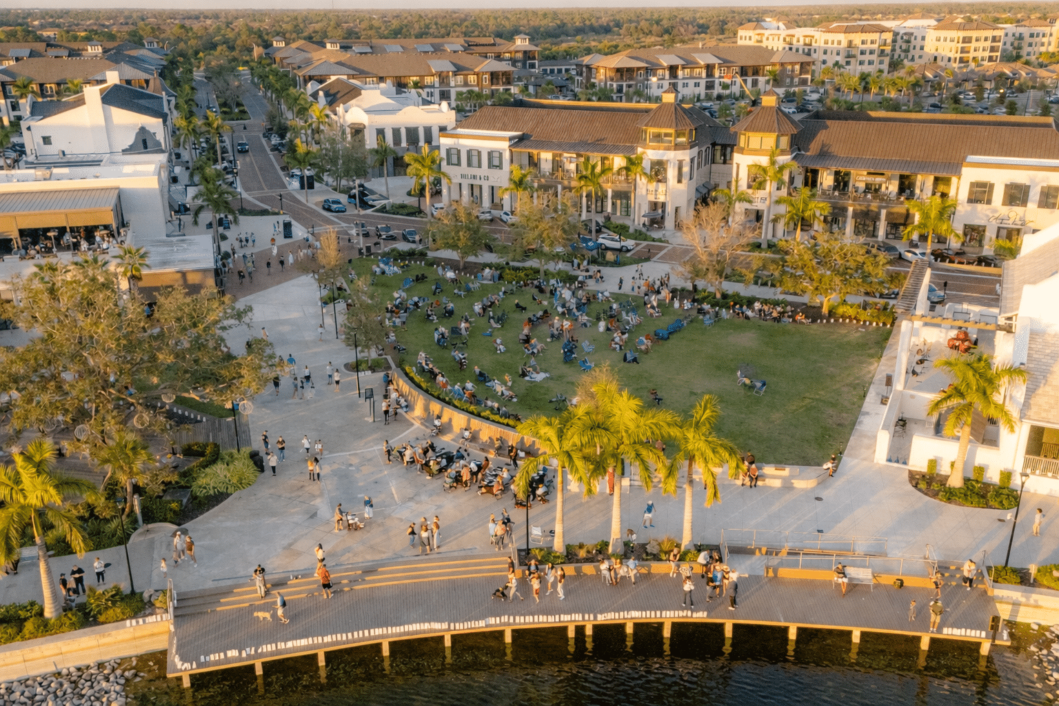
West Villages is now more amazing than ever. We’re proud to announce a new name and a new chapter for our vibrant community along Florida’s West Coast. Welcome to Wellen Park, where distinctive districts — including West Villages — offer new homes, shops, restaurants, amenities, and more.
CHECK OUT OUR FAQSee for yourself how Wellen Park is even better than you ever imagined.
Error Text
We will be in touch soon.